 A few weeks ago I ventured to Chilliwack Lake in hopes of reaching the southern end. The snow was too deep for my little Subaru so we explored other reaches of the valley. Two weeks later and we decided to try again, the snow had melted but a few miles down the road a spring avalanche had other plans for the road. We climbed over it and got some gorgeous views of Chilliwack Lake looking south.
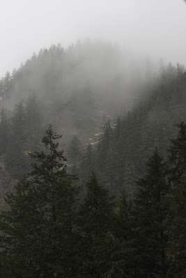
 Within 2 minutes of taking the previous pictures clouds rolled in, socking the entire lake while trowing some intense wind and a bit of snow at us. I've seen weather turn nasty pretty quick in the mountains but this really drove it home. We were talking about how nice it would have been to be canoeing/kayaking on the lake...
 Chipmunk Caves
Karst is a distinctive topography in which the landscape is largely shaped by the dissolving action of water on carbonate bedrock (usually limestone, dolomite, or marble).
This geological process, occurring over many thousands of years, results in unusual surface and subsurface features ranging from sinkholes, vertical shafts, disappearing streams, and springs, to complex underground drainage systems and caves.
Taken from: http://www.cancaver.ca/docs/karst.htm
For more information regarding caves in Canada check out cancaver.com
 The Chilliwack River Valley is rich in karst topography from small sinkholes and streams entering/exiting mountainsides to elaborate cave systems. Although these formations may look and seem indestructable, they are very sensitive delicate ecosystems. Human interfearance can destroy tens of thousands of years of natural mineral build up in a matter of seconds.
The Chipmunk caves have been visted by 'white man' since the 1950's or slightly earlier. Ever since their discovery practically every interesting formation has been taken, defaced or simply smashed and destroyed. There is spray paint inside the caves, littered with trash and candels scattered everywhere. In the picture above, the main chamber, one can see over a few dozen stalactites and straws broken right off. The largest being over 6 inches in diameter.
 Taken from Wiki, showing the most common speleothems (formations)
 'Theres gold in them there hills'
The Chipmunk Caves are situated on a knoll next to the Chilliwack River, ideal for karst formation. The knoll is known to have other caves with more delicate speleothems, but for this reason they are protected, gated, monitered (by an organised caving society) and intentionally not located on maps (government or otherwise). The fact that only a few people know of these caves can pose problems, for example a quarry is proposed in the area (less than 1 km) which would include blasting and drilling. The cave's formations could potentially be harmed or even detroyed, but no one is allowed to see these caves to witness how delicate they really are. On a side note, some of the caves have been known to contain early Native remains, which is another reason caves can be a sensitive area.


 Coolest road I've ever driven on. The only precaution (besides normal logging road etiquette) would be to watch out for and respect the ATV'ers and dirt bikers. They own the roads up here so don't piss em off or you'll pay the price.
Another little side adventure into the Squamish River Valley. I had never been up the Squam valley so I decided it was time. I have also made it a goal to buy a BC fishing license and some cheap fly gear.


